Discover Projects that span the South Central Region and Beyond
Connecting with Pollinators | Ecosystem Vulnerability Assessment | False Springs | Climate Change & Land Use
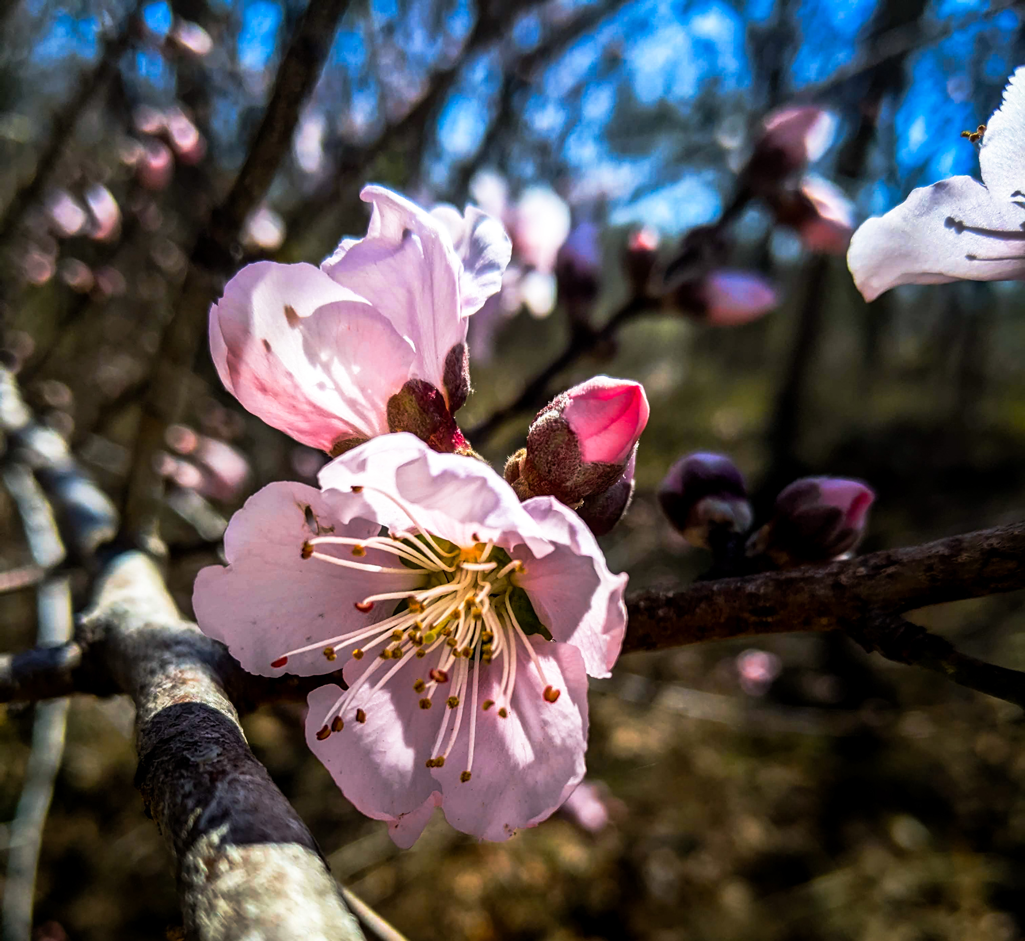
Time To Restore: Connecting People, Plants and Pollinators
Primary Investigator: Erin Posthumus (University of Arizona)
Funded Fiscal Year: 2021
Status: In Progress
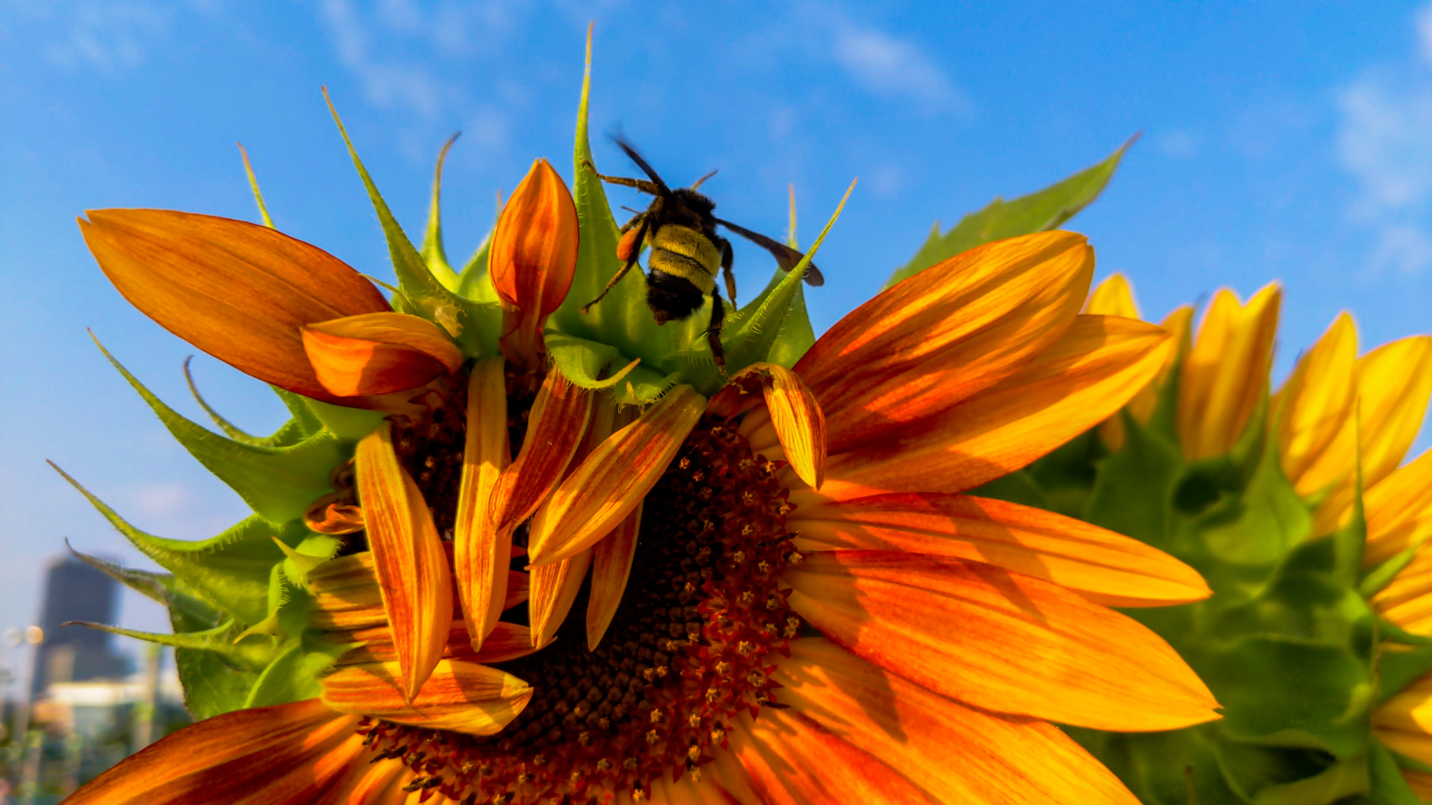
Nectar plants, a primary food source for pollinators, need to be available when pollinators are active to ensure pollinator restoration. Issues such as climate change impacting plant phenology (life cycle events), as well as the lack of useful planting tools for the south central region, are challenges for managers. To restore pollinator populations managers need well guided information on various nectar species, their phenology, and when to plant them . Nectar species that are lacking flowering and seed timing information will be identified throughout the region. Phenology calendars (a calendar containing a sequence of phenological events) for dozens of species in the region will be created to guide characteristics of plants such as flexibility in the start of flowering and the length of the flowering season. This information will be available through an interactive StoryMap and Info Sheets customized for each site, state, and region to support restoration efforts planned for the near future and inform which species are most suitable for future climate conditions.
Webinars: NA
Assessing Vulnerability of Species and Ecosystems in the South Central United States to Inform Adaptation Strategies
Primary Investigator: Bruce Hoagland (University of Oklahoma)
Funded Fiscal Year: 2021
Status: In Progress
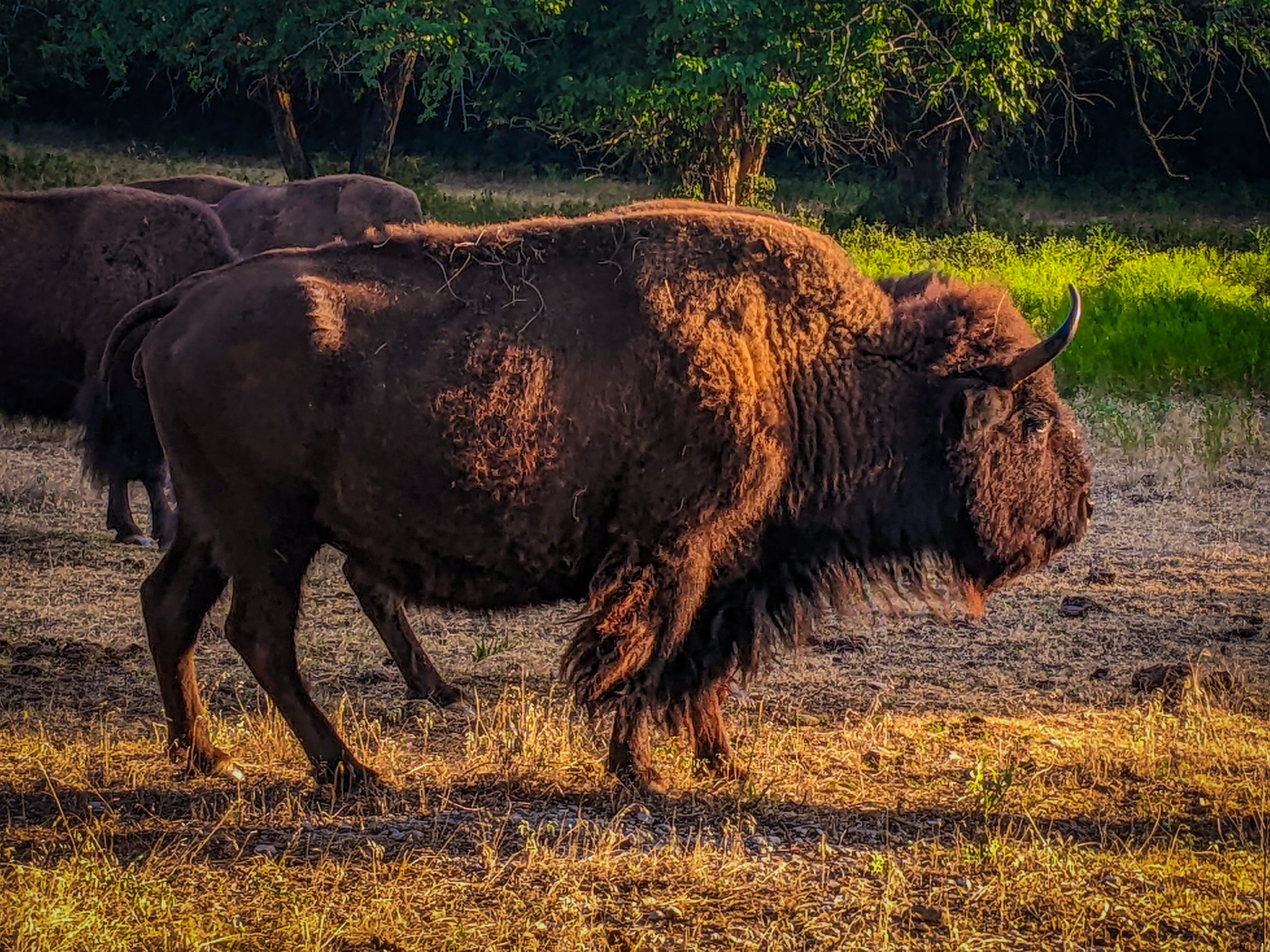
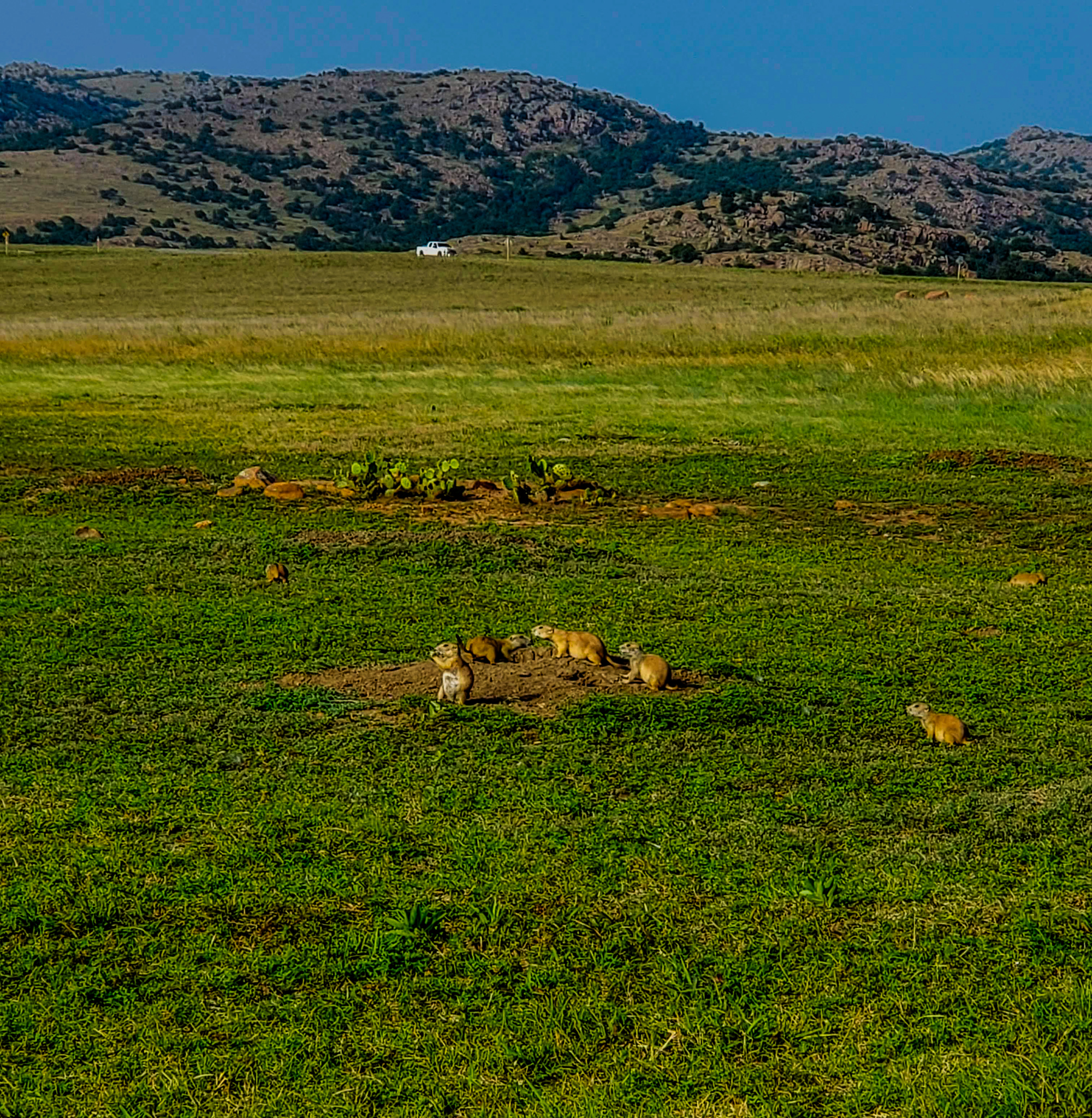
Ecosystems experience stress from a number of factors, but a changing climate exacerbates those stressors and alters ecosystem and soil productivity, leading to degradation of wildlife habitat and agricultural productivity. Response to these enhanced stressors requires that farmers, ranchers, and wildlife managers have the necessary information and resources to guide adaptive management decisions. Not only do they need better forecasts of drought severity, but also an understanding of the likely effects of drought on vegetation and soil at the decadal scale. To provide these resources, this project proposes to document and map climate change vulnerability of major grasslands and wetlands on the southern Great Plains of New Mexico, Oklahoma, and Texas. This analysis will be conducted using the NatureServe Habitat Climate Change Vulnerability Index (HCCVI). The results of this analysis will inform adaptive conservation of ecosystems and species among land planners and managers.
The HCCVI summarizes three key measures: Exposure, Sensitivity, and Adaptive Capacity. Climate change exposure is determined using an observed climate baseline (from 1949 to 1980) and projections for the early to mid-21st century (2010-2039 and 2040-2069). Measures of ecosystem sensitivity may include landscape integrity, invasive plant species, and altered fire regime. HCCVI results provide a description of all components assessed, summary results, and ecological system -specific considerations for adaptive management responses. Map products generated from the HCCVI include climate driven transitions among neighboring vegetation types or ecological systems as well as maps indicating zones of predicted relative climate stability over time
Webinar: NA
Assessing Future Changes to Spring Phenology and False Springs in the South Central United States
Primary Investigator: Adrienne Wootten (University of Oklahoma)
Funded Fiscal Year: 2019
Status: In Progress
The onset of spring, represented by first leaf and first bloom, is a critical indicator of the health and growth of ecosystems. Studies have shown that the timing of first leaf and first bloom has shifted to earlier in the year across the U.S., impacting species that time their own life history events based on spring onset. False springs occur when temperatures briefly warm and “trick” plants into opening their buds, only to be followed by a hard freeze that can kill the young, sensitive buds. These events can cause significant damage to ecosystems as well as agriculture. For example, a false spring in the Southeast in 2007 caused $2 billion in damage to crops. Some projections of future climate conditions have shown that the occurrence of false springs will increase in the future, while others have shown that they will decrease.
To date, the studies that have examined changes in spring onset and false springs have used climate projections that were not designed for use in the South Central region. The goal of this project is to improve our understanding of future changes in the timing of spring onset and the frequency and occurrence of false springs in the South Central U.S. Researchers will use projections of future climate conditions that were designed specifically for use in this region. The results of this project will provide the region’s natural resource managers with information on projected future changes to these ecologically-relevant indices, and will provide guidance on best practices for using climate projections to model changes in spring onset and false springs. Together, this information will inform ecosystem management and adaptation planning throughout the South Central region.
Webinar: NA
Building a Decision-Support Tool for Assessing the Impacts of Climate and Land Use Change on Ecological Processes
Primary Investigator: Terry L Sohl (Geographic Science Team, EROS)
Funded Fiscal Year: 2016
Status: Completed
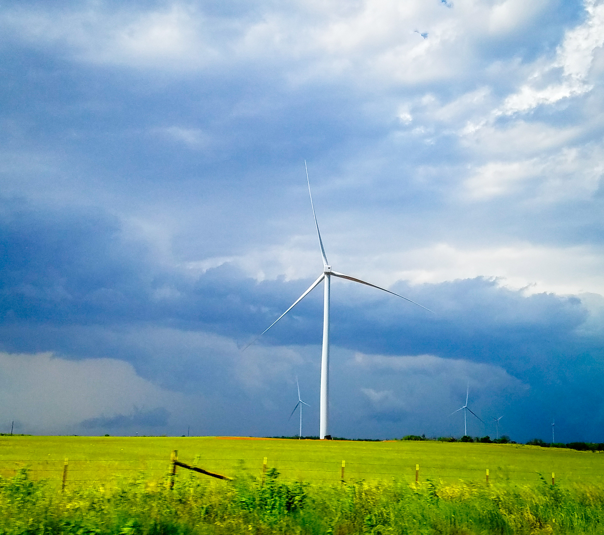
This project sought to address this gap by developing new software tools that enable stakeholders to quickly develop custom, climate-sensitive land-use projections to satisfy a range of application needs. Stakeholders from across the region participated in the development of the model through two workshops, designed to first gather stakeholder needs and then to apply and evaluate the model to ensure that it maximizes potential use across all stakeholder groups.
Users of the end-product will be able to build customized, scenario-based projections of landscape change, including landscape response to climate change, such as wildfires or altered vegetation patterns. The projections generated with these tools will enable decision-makers and land-use planners to visualize potential future landscapes, optimize land management practices, and adapt to negative impacts of climate and land-use change on ecological and economic systems.
Webinar: NA
Other Webinars of Interest to Region-wide
Soon to be added